")
")
")
")
Más
Más
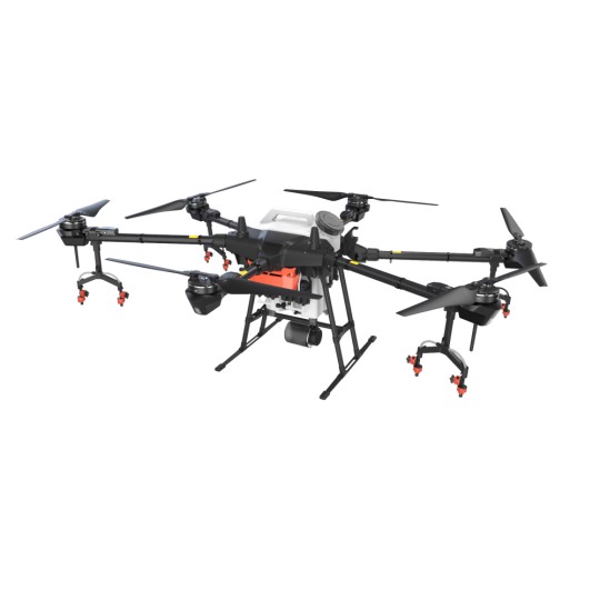
DJI Mavic 3 Multispectral (M3M)
The DJI Mavic 3 Multispectral is a next‑generation agricultural and environmental mapping drone designed to deliver high‑precision multispectral data for crop health analysis, vegetation monitoring, and scientific research. With a dual‑camera system combining a 20MP RGB sensor and four multispectral sensors, the M3M provides accurate NDVI, NDRE, GNDVI, and other vegetation indices in a single flight.
Dual‑Camera System: RGB + Multispectral
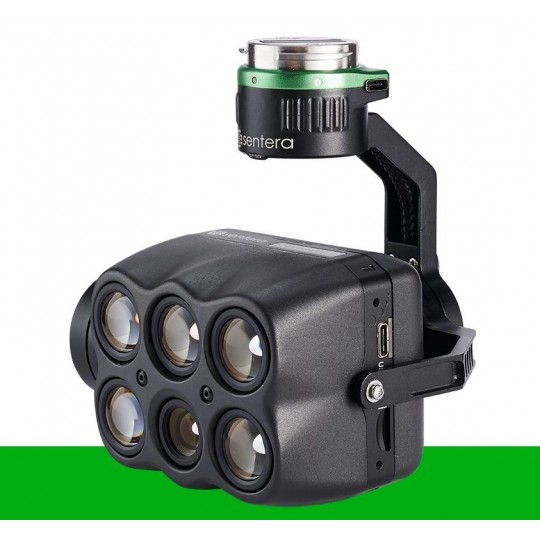
The Mavic 3M integrates a professional 20MP RGB camera with a 4‑band multispectral array (Green, Red, Red Edge, Near‑Infrared). This allows operators to capture high‑resolution visual imagery and detailed plant‑health data simultaneously, improving efficiency and reducing flight time.
Centimeter‑Level Accuracy with RTK
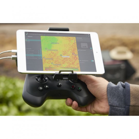
The built‑in RTK module enables centimeter‑level positioning, essential for precision agriculture, mapping, and scientific surveying. The drone supports network RTK, D‑RTK 2 Mobile Station, and custom NTRIP services for maximum flexibility in the field.
Optimized for Agricultural Operations
With up to 43 minutes of flight time and a high‑efficiency battery system, the M3M can cover large fields in fewer flights. The drone integrates seamlessly with DJI Terra, DJI SmartFarm, and third‑party agricultural platforms for data processing and analysis.
O3 Enterprise Transmission
DJI’s O3 Enterprise transmission system ensures stable, long‑range connectivity with 1080p real‑time video feed, even in challenging environments. This provides reliable situational awareness and precise control during mapping missions.
Designed for Professionals
The Mavic 3 Multispectral is built for agronomists, surveyors, environmental engineers, and government agencies requiring accurate multispectral data. Its compact folding design makes it easy to transport while maintaining enterprise‑grade performance.
Key Features
- 20MP RGB camera with mechanical shutter
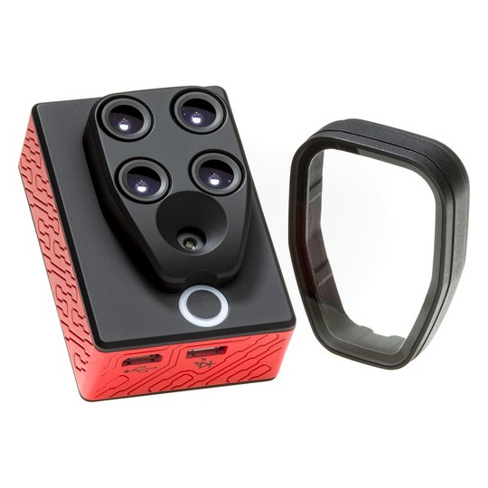
- 4 multispectral sensors: G, R, RE, NIR
- RTK module for centimeter‑level accuracy
- Up to 43 minutes of flight time
- O3 Enterprise transmission system
- Supports DJI Terra and SmartFarm
- Ideal for NDVI, NDRE, GNDVI, and vegetation index mapping
Available now at Drones Miami, your trusted supplier for DJI Enterprise drones and agricultural mapping solutions in the United States.
Reseñas
Reseñas
No hay reseñas de clientes en este momento.
16 productos más en la misma categoría:
-
-
-
-
-
-
-
-

-

-

-

-
-
DJI AGRAS MG-1P
$12,999 $13,000
-
-

-